

The United Kingdom in three dimensions
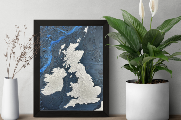
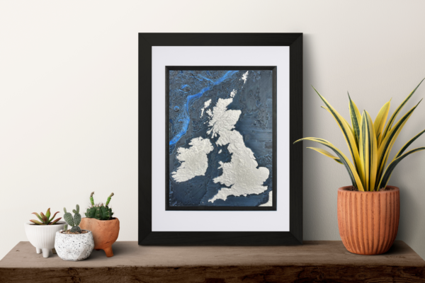
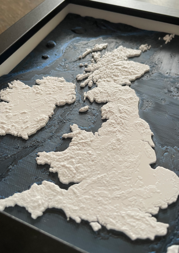
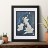
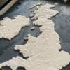
Explore the mountains, valleys and coastlines of the United Kingdom in a framed physical relief map. Raised land topography is paired with surrounding sea-floor bathymetry, creating a tactile view of the geography that shapes the British Isles.
Framed sizes
| Size | Frame and model |
|---|---|
| Small | 150 × 200 mm black frame with an approximately 130 × 180 mm model |
| Medium | 275 × 325 mm black frame with a white inlay and an approximately 140 × 190 mm model |
| Large | 305 × 370 mm black frame with a white inlay and an approximately 190 × 235 mm model |
Select the currently available size above.
Land and sea detail
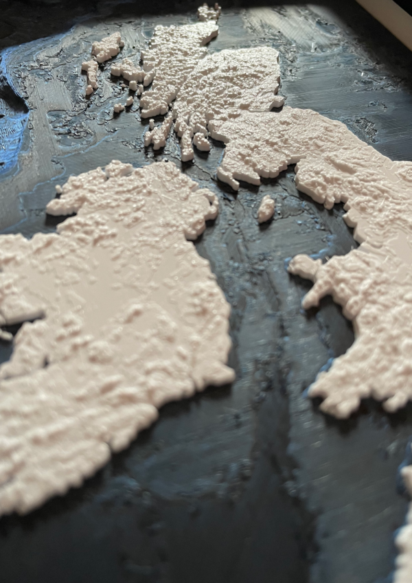
The model represents the UK’s varied terrain from uplands and mountain regions to lowlands and coastlines. Surrounding bathymetry adds the contours and depth of the nearby seabed.
For display, gifts and education
This framed relief map suits homes, offices and studies, and makes a meaningful gift for map lovers, travellers or anyone connected to the UK.
For another country or island, commission a custom country relief map.
Good to know
- Made in the UK.
- Supplied framed for wall display.
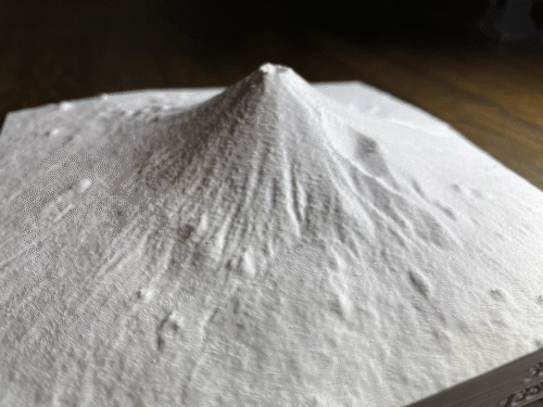
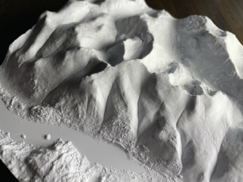
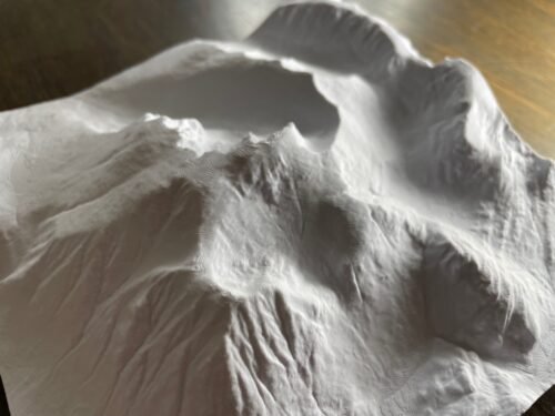
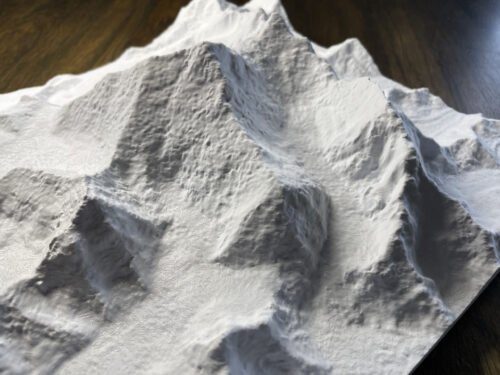
- Small layer lines and surface textures are normal features of 3D printing.
Reviews
There are no reviews yet.