About
Our Story
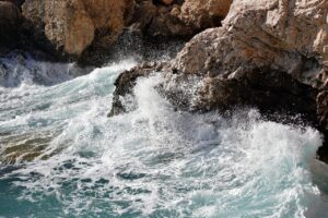
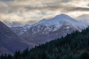
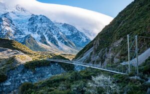
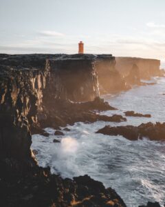
Our love for topography truly blossomed during a period spent living in New Zealand, where the dramatic landscapes—from towering mountains to serene coastlines—left a lasting impression. The rugged beauty of the Southern Alps, the majesty of the fjords, and the intricate details of the terrain sparked a desire to recreate these places in a way that could be held and admired. It was in those breathtaking environments that the idea for ElevationScapes took root: to share the essence of such places through meticulously crafted 3D-printed models.
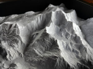
At ElevationScapes, we bring together our technical expertise in terrain analysis and a passion for design. Using high-quality lidar and satellite data, we create intricate, accurate models that capture every peak, valley, and coastline with stunning precision. Whether it’s a mountain range that holds personal significance, a coastline that evokes memories of a favorite trip, or an ocean floor that stirs curiosity, each piece we create is more than just art—it’s a way to connect with the landscapes that shape our world.
Our goal is to make the beauty of the world accessible in a new dimension. Our 3D-printed terrains, islands, and bathymetric models are perfect for display, education, or as unique gifts. Whether you’re a geography enthusiast, nature lover, or simply appreciate art with a story, ElevationScapes offers a way to experience the world’s most remarkable landscapes in a tangible form.
We believe in the power of geography to inspire wonder, and we’re excited to share that wonder with you through our carefully crafted creations. Explore our collection and discover the beauty of the Earth from a whole new perspective. If you’re interested in other custom home decor – check out our other site where we offer stylish and unique planters and decor: utiliprint.co.uk