welcome to elevationscapes

The beauty of nature in your hands with our unique 3D terrain models

Our best sellers

Click here to change this text. Lorem ipsum dolor sit amet, consectetur adipiscing elit. Ut elit tellus, luctus nec ullamcorper mattis, pulvinar dapibus leo.

  • Custom 3D Printed Topographic Map

    Custom 3D model £29.99£59.99
    150 mm
    200 mm
    250 mm
    Framed
    Unframed
    White
    Grey
    Copper
    Silver
    Clear
  • Rated 0 out of 5

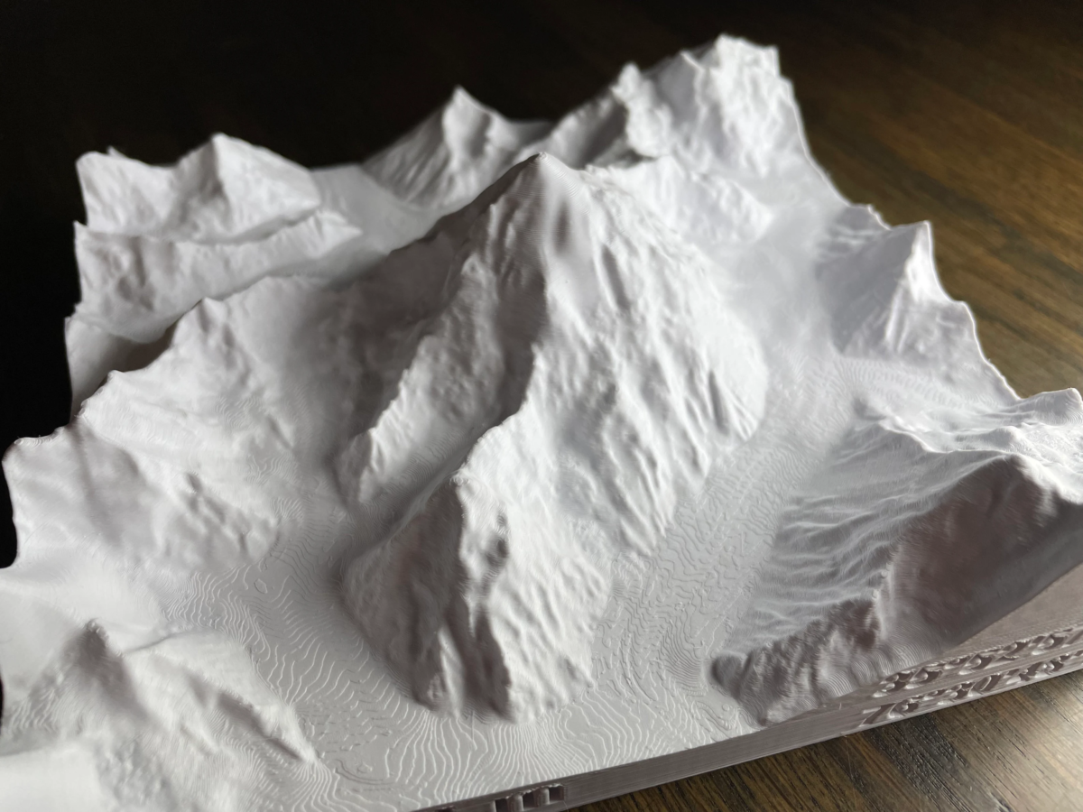
    Mont Blanc 3D model

    Standard model £25.00£40.00
    Medium (15 cm)
    Extra Large (25 cm)
    Clear
  • Rated 0 out of 5

    Mount Everest 3D Model

    Standard model £12.00£41.00
    Extra Small (7.5 cm)
    Small (10 cm)
    Medium (15 cm)
    Large (20 cm)
    Extra Large (25 cm)
    White
    Grey
    Copper
    Silver
    Clear
  • Rated 0 out of 5

    3 Peaks Challenge 3D mountain set

    Standard model £72.00£116.50
    Medium (17 cm) frame
    Large (27 cm frame)
    White
    Grey
    Copper
    Silver
    Custom Text
    No Text
    Clear
Our Story

The raw beauty of nature in your hands

At ElevationScapes, our journey is deeply rooted in a shared love for geography, nature, and the beautiful complexity of the Earth’s landscapes. Founded by Seb and Emilie, we draw inspiration from the intricate details found in topographic maps, combining technical expertise with a passion for capturing the beauty of the world. We bring these landscapes to life, one 3D-printed model at a time, allowing you to experience the wonders of nature in your home.

Trusted Excellence

Why choose our models?

We pride ourselves on delivering high quality and bespoke models to suit your needs, and tailor our designs to capture the essence of the landscape as you would like it presented

High resolution data

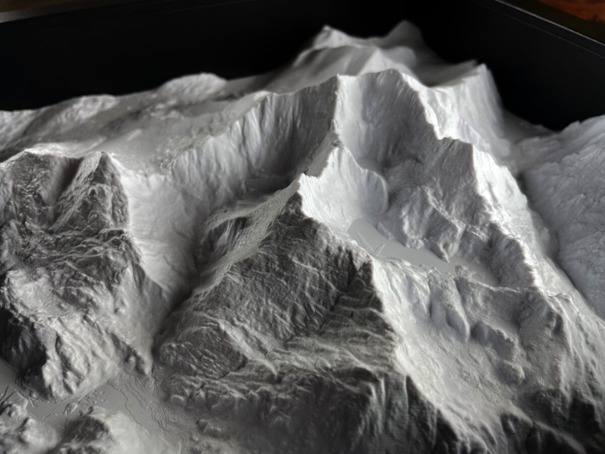
Our geospatial expertise allows us to leverage high-resolution lidar data where available. In the UK, this means our models have a 1 – 5 m resolution, meaning every rockfall, peak, crevice, and cliff is captured in stunning detail, just as you’d find on a topographic map. Beware when looking at other models elsewhere, as many rely on 30 – 90 m resolution satellite data, and therefore miss the key details that make your place special.

Your landscape your way

We will collaborate with you on our custom models to ensure we capture not just the extent but the true essence of the landscape. Much like refining a topographic map, this sometimes means adjusting the vertical relief so that peaks are more prominent, or perhaps removing water bodies from the model so you can mount them on striking blue backdrops, bringing the entire landscape to life. Whatever your needs, and however you want your model presented, we work with you to achieve your vision.

Corporate solutions

We offer a service to corporate clients and local authorities who may wish to see a large-scale (1 m +) model of areas under their control, similar to a detailed topographic map, to aid in town and country planning, construction, drainage, and more. We are very happy to discuss the needs of clients wanting large-scale models—please contact us to hear more about this service.

Secure Payment
Delivered With Care
Excellent Service
Shopping Cart